Project information
- Category: Computer Vision
- Skills Used: Python, TensorFlow, Satellite Image, Image Segmentation, U-Net
- Find notebook here: GitHub: Satellite Image Segmentation using U-Net
Summary:
This project aims to perform land cover classification on satellite images using deep learning techniques.
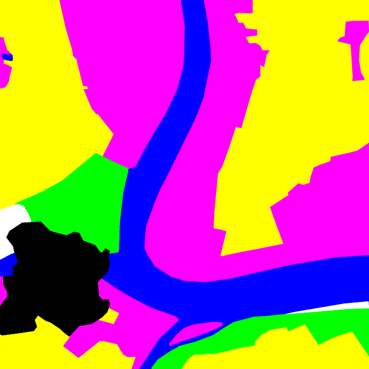
Land cover classification is the process of assigning labels to different regions of an image based on their surface characteristics, such as vegetation, water, urban areas, etc. This task is important for various applications, such as environmental monitoring, disaster management, urban planning, and more.
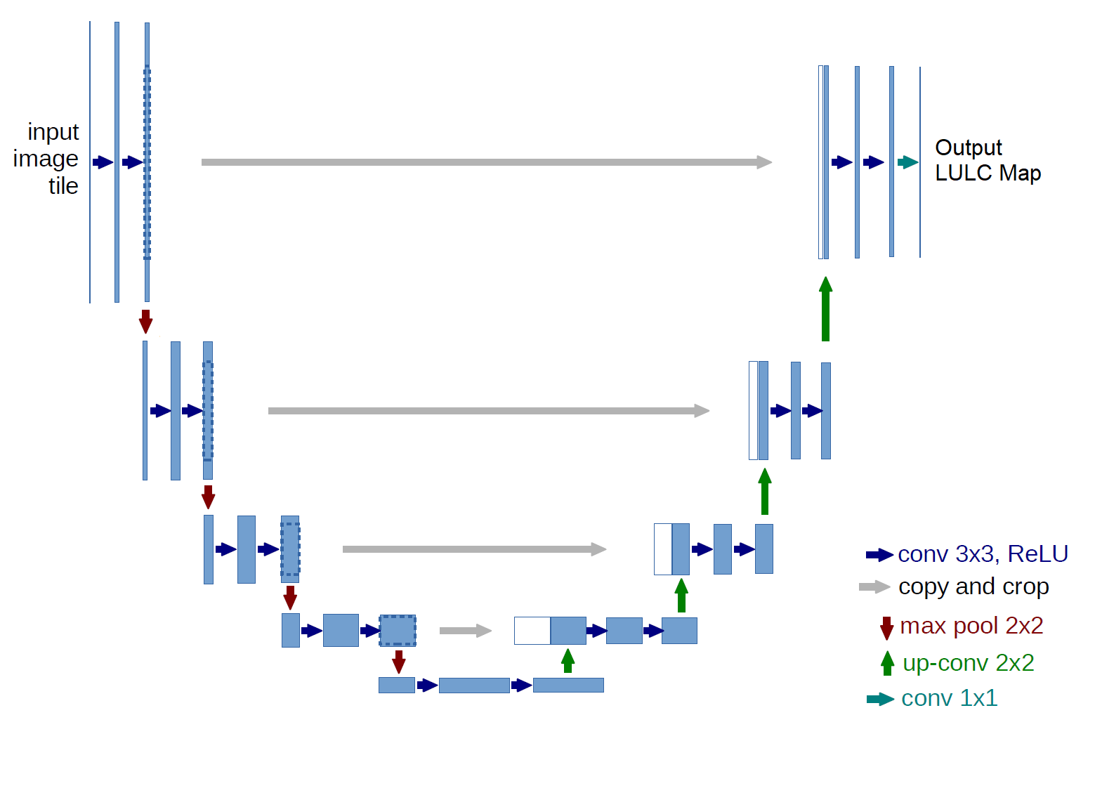
The project uses a UNet architecture, which is a type of convolutional neural network that consists of an encoder and a decoder.
The encoder extracts features from the input image, while the decoder reconstructs the output image with the desired labels.
The UNet also has skip connections that allow information to flow from the encoder to the decoder at different levels of resolution, which helps preserve spatial details and reduce errors.
The project also explores three different models from the segmentation_models library, which provides pre-trained backbones
for various segmentation tasks. The models are ResNet34, EfficientNetB0, and VGG16. These models are used as the
encoder part of the UNet, while the decoder part remains the same. The project compares the performance of these models on
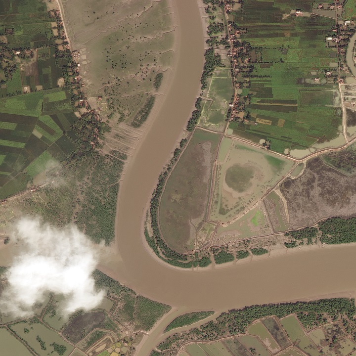
the DeepGlobe Land Cover Classification Challenge dataset, which contains high-resolution satellite images from
different continents and seasons.
The project evaluates the models using two metrics: pixel accuracy and mean intersection over union (mIoU).
Pixel accuracy measures the percentage of pixels that are correctly classified, while mIoU measures the average overlap between the predicted and ground truth regions for each class. The project also visualizes some examples of the segmentation results.


