Project information
- Category: GIS Development
- Skills Used: Python, geopy, Nominatim, geocoding, web-mapping
- Find notebook here: Kaggle: Geocoding with Nominatim
Summary:
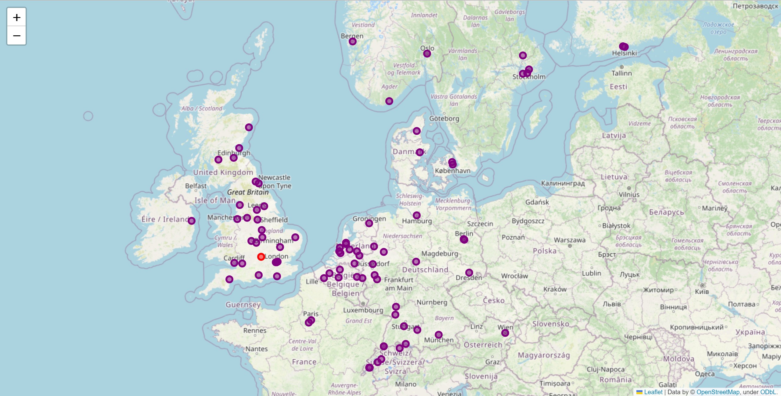
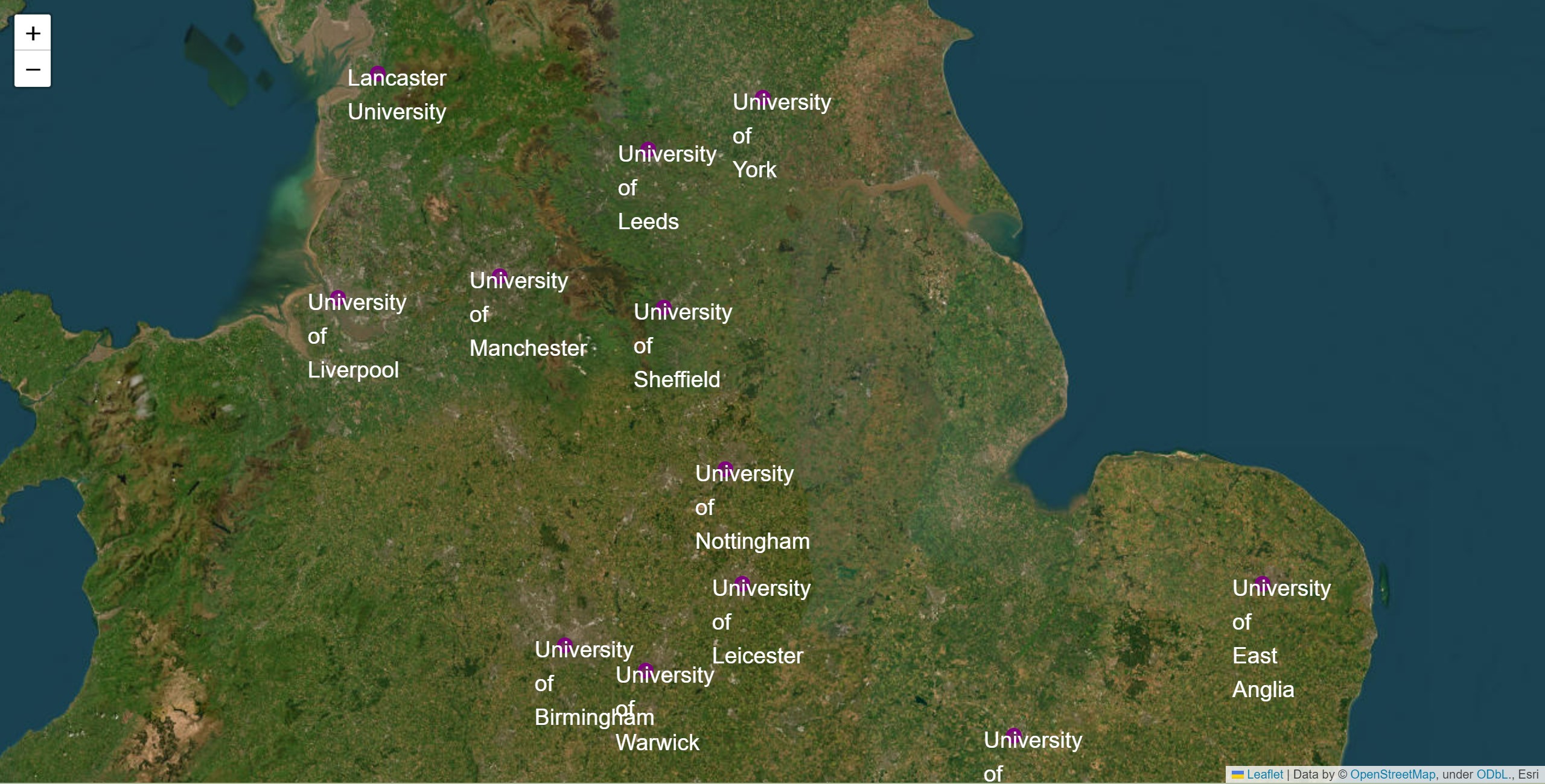
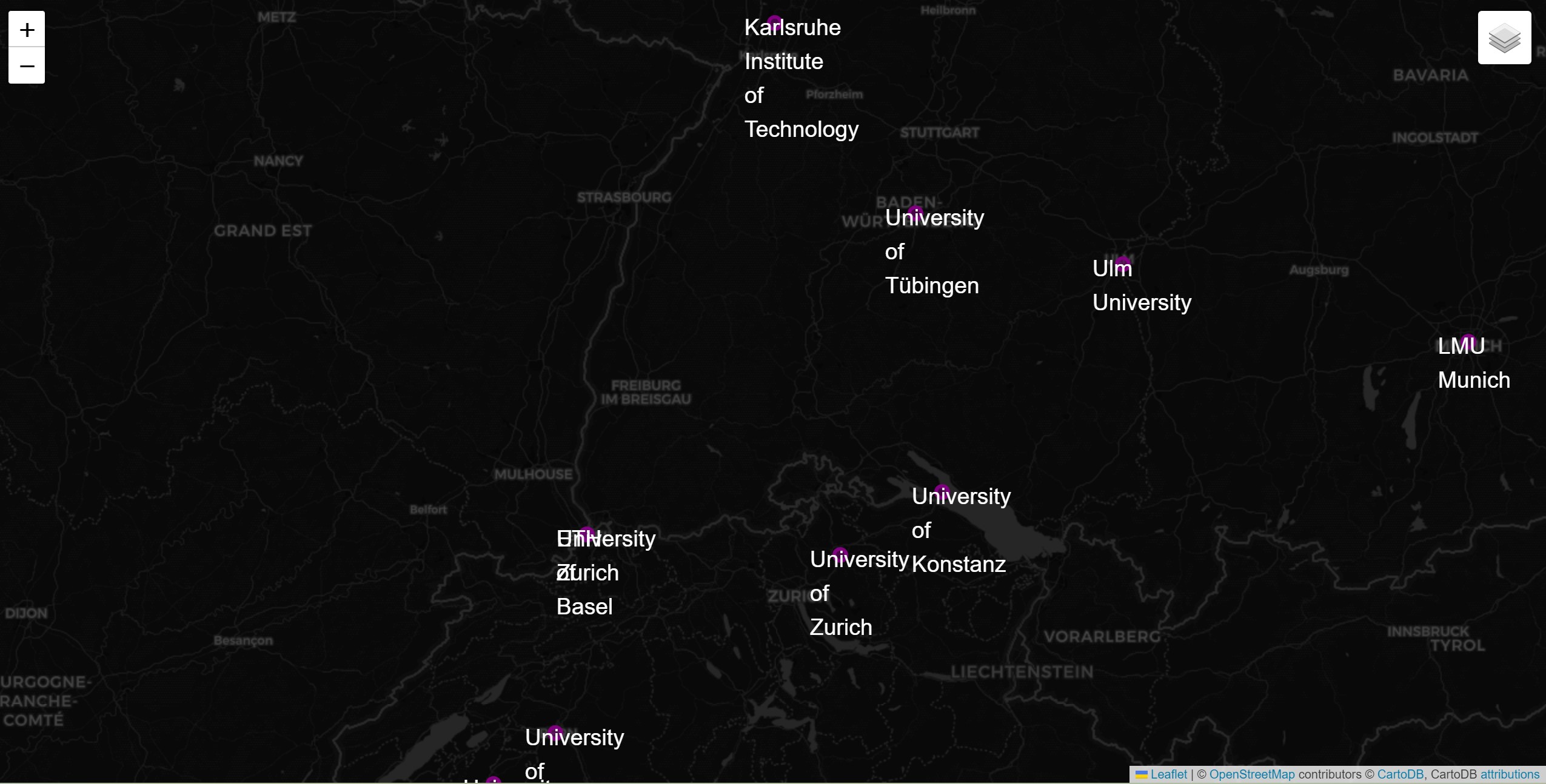
This project used nominatim with geopy to geocode a list of universities read from a csv file and finally display on a web-map.
First the csv file was parsed to obtain the name of the universities.
Then a nominatim geocoder was initilaized, which was used to find the lat/long values for each of the university names.
Finally, as all the universities were from Europ, the points that didn't fall within the bounding box of Europe were filtered out.
The points remained after filtering were added to a folium map for visualization. Moreover, the geocoded location of each University was also written back to the a csv file
for future use.