Project information
- Category: Computer Vision
- Skills Used: Python, PyTorch, GAN, Image Conversion, U-Net
- Find notebook here: GitHub: Pix2Pix for Converting Satellite Image to Google Maps Like Map
Summary:
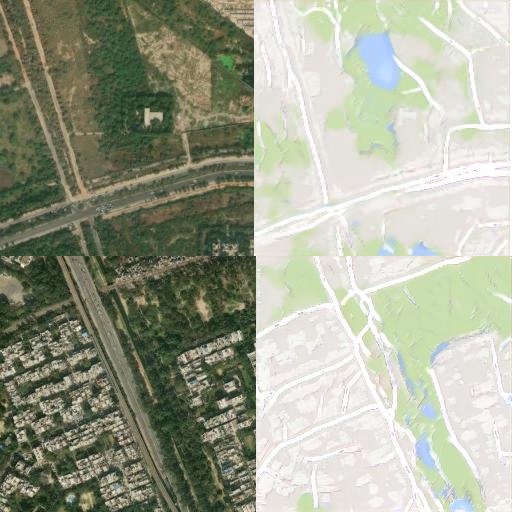
Generative Adversarial Networks with conditional input are useful for generating dataset conditioned on the input.
This can be used to convert satellite images to maps as well.
This notebook uses the Pix2Pix model described by
Image-to-Image Translation with Conditional Adversarial Networks by Isola et al. 2017,
to convert satellite images to maps.
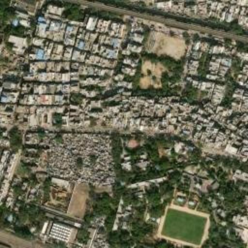
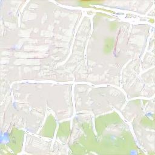
This project demonstrates how to use a generative adversarial network (GAN) to convert satellite images to maps.
The GAN consists of a generator that uses a U-Net architecture and a discriminator that uses a PatchGAN architecture.
The generator takes a satellite image as input and produces a map-like image as output. The discriminator takes both
the input and output images and tries to classify them as real or fake. The GAN is trained on a dataset of image-map pairs
provided by the authors of Pix2Pix, a paper that introduced the conditional adversarial network framework.
The project also includes code for downloading and preprocessing custom data, as well as visualizing the results.