Project information
- Category: GIS Development
- Skills Used: Python, ArcGIS Pro, Hydrology
- View Source Code: ArcGIS Tool For Drainage
Summary:
This is a tool for ArcGIS pro.
Built with ArcGIS pro 2.8.0
Python version 3.4.3
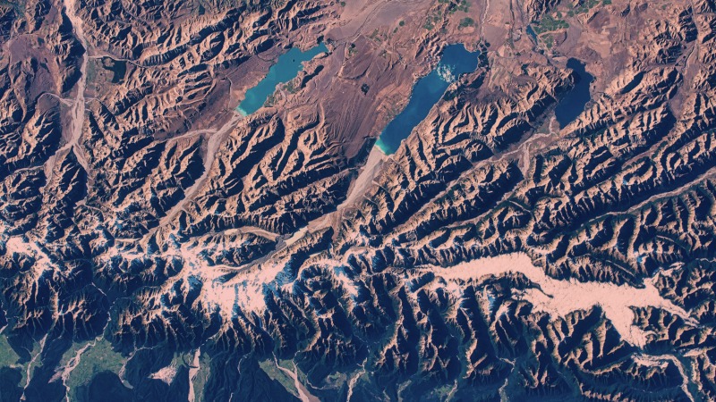
This is a hydrology tool to calculate, for each cell in a raster,
the area of upstream cells that drain water to it.
It takes a input elevation raster (DEM) and
outputs a raster showing drainage area value for each cell.
The (underlying) steps involved are:
- Fill Potential Sinks in the DEM
- Calculate Flow direction
- Calculate Flow accumulation
- Calculate Drainage Area
D = Fac*Cellsize
where,
D = Drainage Area
Fac = Flow accumulation
Cellsize = Area of single pixel of input raster
This tool is used to compute the total area of upstream that contribute drain water any given location.